Patagonia is sick. There is really nothing else to say about it. But I will.
Big mountains, big glaciers and big winds. Patagonia is just big. Beth and I just got back from a fairly epic 5 day trek that involved lots of route finding, crossing freezing cold streams and a glacier, some high passes with strong winds that almost blew us over, and some life lessons.
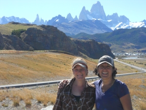
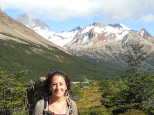
- beth and i with the mountains in the background
Lesson #1: Don’t blindly listen to others.
The second morning of our trek was our first real challenge – crossing the Humel River, which incidentally comes straight from the glacier hanging right above it. To say that it is cold would be an understatement. As you might imagine water coming fresh off of a huge icecube would be. We arrived at the stream early, hoping for the river to be at its lowest. As soon as we arrrived, a man ran over to the bank across from us and told us that there was better crossing below. Instead of scouting the river, we headed downstream as he instructed and tried several times to cross the river. To the point where I was worried about hypothermia. To the point where Beth and I got worried that we would not be able to keep going. The river was high and fast. After hopping around, putting on almost all my upper layers, after frantically trying to rewarm our toes – at that point we finally scouted the river and found a good place to cross. Lesson learned — sure, take advice of others, but also trust what you know.

- glacier feeding into the lake — as you might imagine, it was cold!
Lesson #2: Don’t take the easy way out.
On day 3 of our trek, we crossed our second pass. It was a beautiful day and we contoured along the hillside overlooking the Patagonia icefield. The day before we had a rest day at a beautiful lake and did an afternoon hike to a look out over the icefield which was incredibly windy, but incredibly beautiful. In any case, we finally arrived at the top of the pass, found some shelter from the wind and had a snack break. We looked around and figured that the narrow pass through the rocks must be the way down. It seemed that there was a path, there were plenty of other footprints. And even though it got really steep and seemed to be a drainage – we figured we were going the right way. Soon, we realized just how wrong we were.
All of a sudden, the drainage got narrower and steeper. We both expressed concern to each other, but we were still seeing footsteps. And, when we got our permit, the women told us about a very steep section that had a rope to aid with the descent. So, we continued on. When I say steep, I mean — if one of us had taken a fall, death would be certain when you slipped down the screen field and over the cliff into the lake below (but such a great view of the glacier meeting the lake). When the scree slope ended at the cliffs, we realized we needed to turn around, climb back up the 1000 feet we had just come down and look for the right way down. Needless to say, it was tough. Though I am not sure I have ever climbed that fast. we did not take a break until we reached the top and found the real trail.
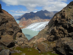
- this is the view down the cliff — where certain death would have occured had one of us fallen
One of us had said on the way down…. strange that the trail follows a drainage…. yeah. funny, because it is not a trail! trust your instincts!
Lesson #3: Always consult your resources.
On day 5, after camping on the lake in view of the glacier and listening to the glacier break off during the night, we thought we had an easy day in front of us. Ha.
Basically, we had to contour along the shoreline in order to reach the farside of the lake (and yet another river crossing). There were a few problems with this though — one, patagonia is full of prickly plants. And by prickly, i mean sharp thorns. So, frequent thorns and prickly plants were in our pants and hands and trekking poles. We did not talk much – as it was hot and hard work — other than exclamations of pain here and there. And two — the path was hard to follow — we frequently lost it and when we found it, we weren’t sure if that was the path or just a cow trail.
Finally, when we were getting close, we could see the end of the trail — so we started down – figuring we could make it down to the flat ground (we were contouring along a steep slope). We did all this without looking at our map – which would have told us that we did not descend until we reached the river – which was a long ways away…. up and over. So, once again, we had to retrace our steps. Lesson learned — consult your resources if you have them!
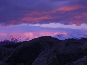
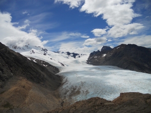
- one of the glaciers!
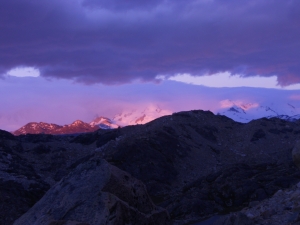
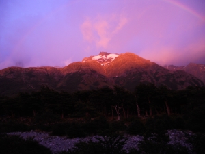
- sunrise over the patagonia icefield
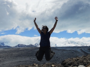
- yay patagonia icefield!
